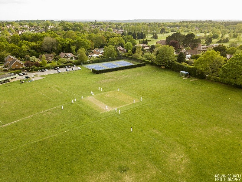
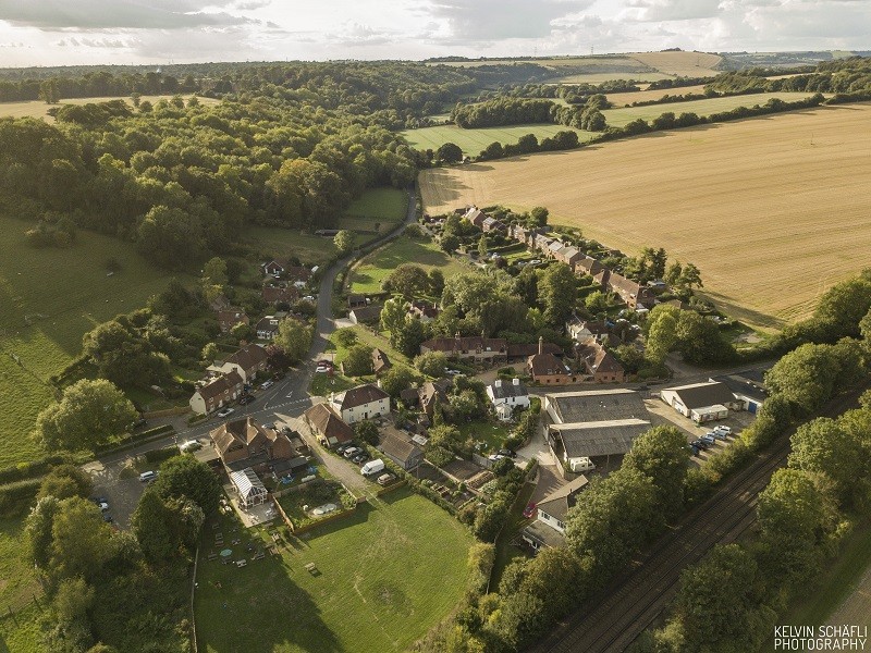
Aerial Photos of Rowlands Castle
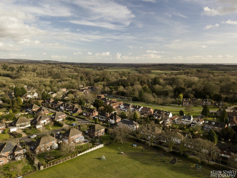
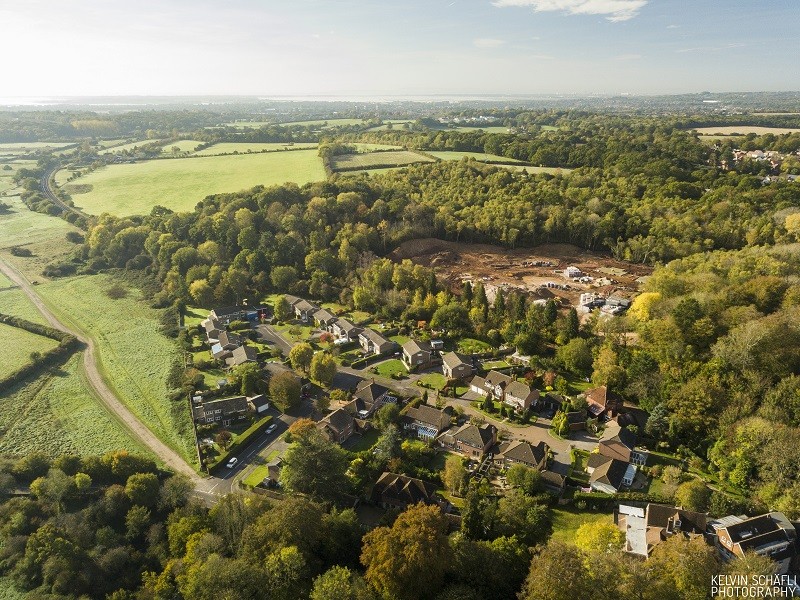
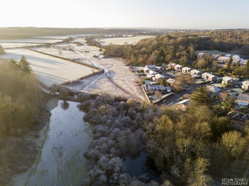
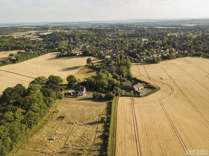
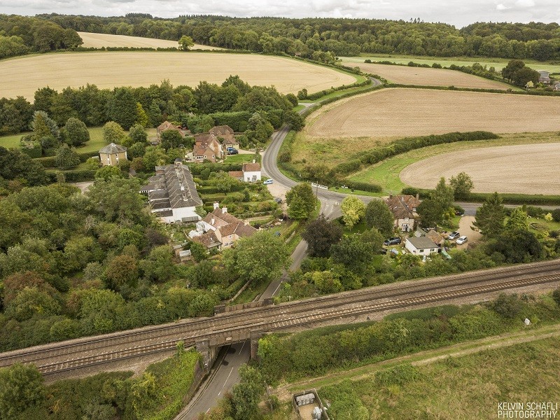
In its periodical Magazine, the RCA aptly calls Rowlands Castle: ‘Village and Valley’. This describes the two dominant characteristics of the area. The aerial photos of Rowlands Castle offer a perspective of both Village and Valley which not only highlights some of its local characteristics – buildings, open spaces and woodlands – but also allows it to be viewed in a wider context in relation to the foothills of the South Downs in the north, and to Portsmouth, The Solent and Isle of Wight to the south.
This display commences from the The Green– a listed ‘Conservation Area’ and centre of Village. It then looks southwards, before moving northwards up the Lavant valley.
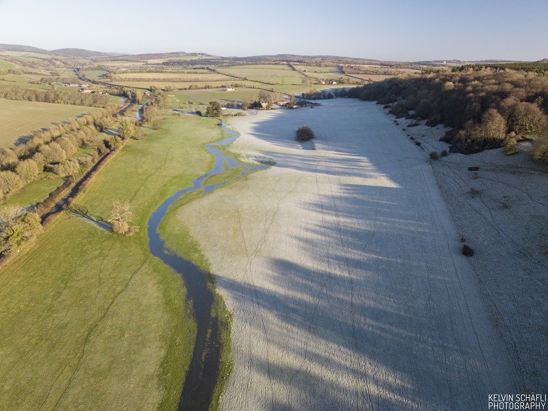
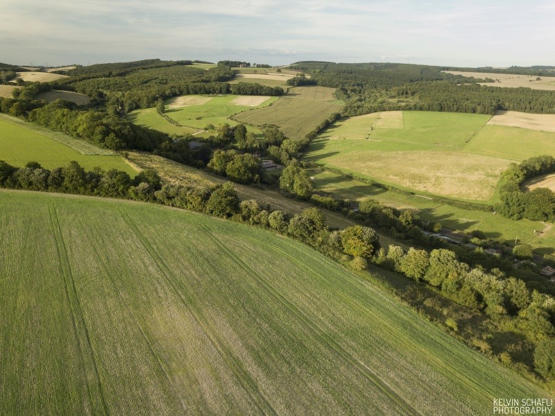
One striking aspect is the surprisingly green and wooded character of the area, including among the houses themselves. This relates both to the ancient Forest of Bere – on clays and gravels – which once extended westward almost a far as Winchester (a sort of hunting forest for Portsmouth, as the New Forest remains for Southampton). On the chalklands to the north, there are arable fields, usually laced with flints, with low valleys of the East and West Lavants, passing through gently rolling hills. The topographical and geographical nature of the area is described in more detail in the Rowlands Castle Local Landscape Character Assessment published in 2012.

occasional balloons
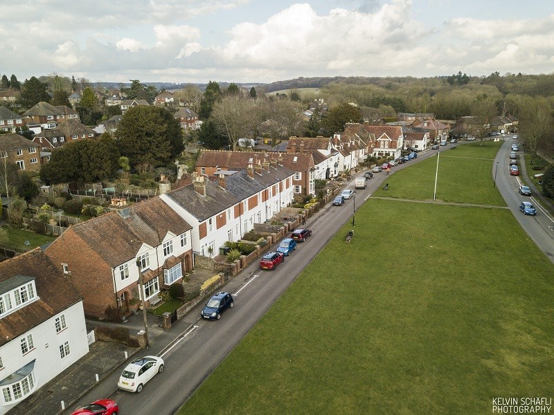
‘Conservation Area’

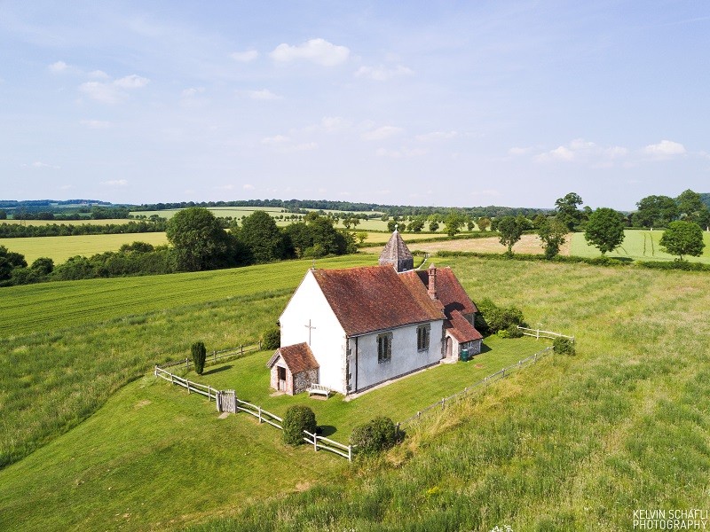
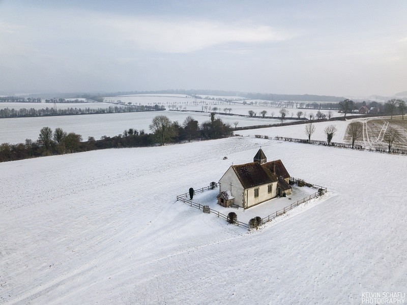
built in 1859
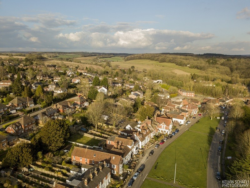
Lavant Valley to east