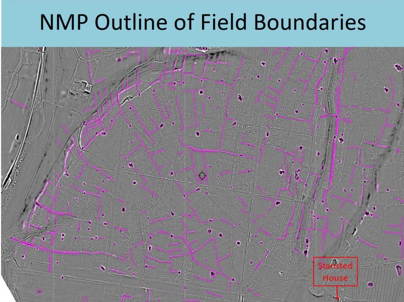
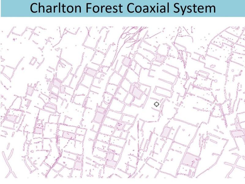
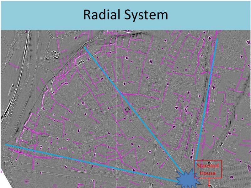
Field Systems
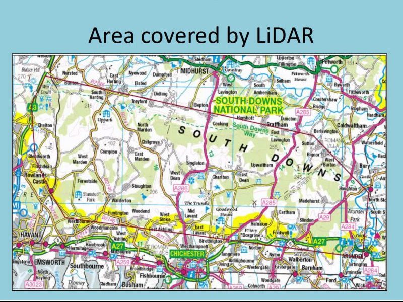
The South Downs ‘Secrets of the High Woods’ mapping project, completed in 2014, used ‘LIDAR’ – an airborne laser scanning method. It is a remote sensing technique that allows the collection of topographic information (ground height data) over large areas of landscape using a sensor mounted on a plane.
Lidar stands for Light Detection and Ranging. This remote sensing method uses light in the form of a pulsed laser to measure ranges (variable distances) to the Earth. These light pulses—combined with other data recorded by the airborne GPS system— generate precise, three-dimensional information about the shape of the Earth and its surface characteristics. Airplanes are the most used platforms for acquiring lidar data over large areas, usually flying a series of parallel flights. Lidar systems allow mapping to examine both natural and man-made features.
Editorial: Click to scroll through all the images and enlarge them. April 2020


This presentation was made available by courtesy of Mark Seaman who retains the copyright. It was entered on the RCHC Website on 20th April 2020.